
NOAA Satellite Data

Capturing data from NOAA Satellite
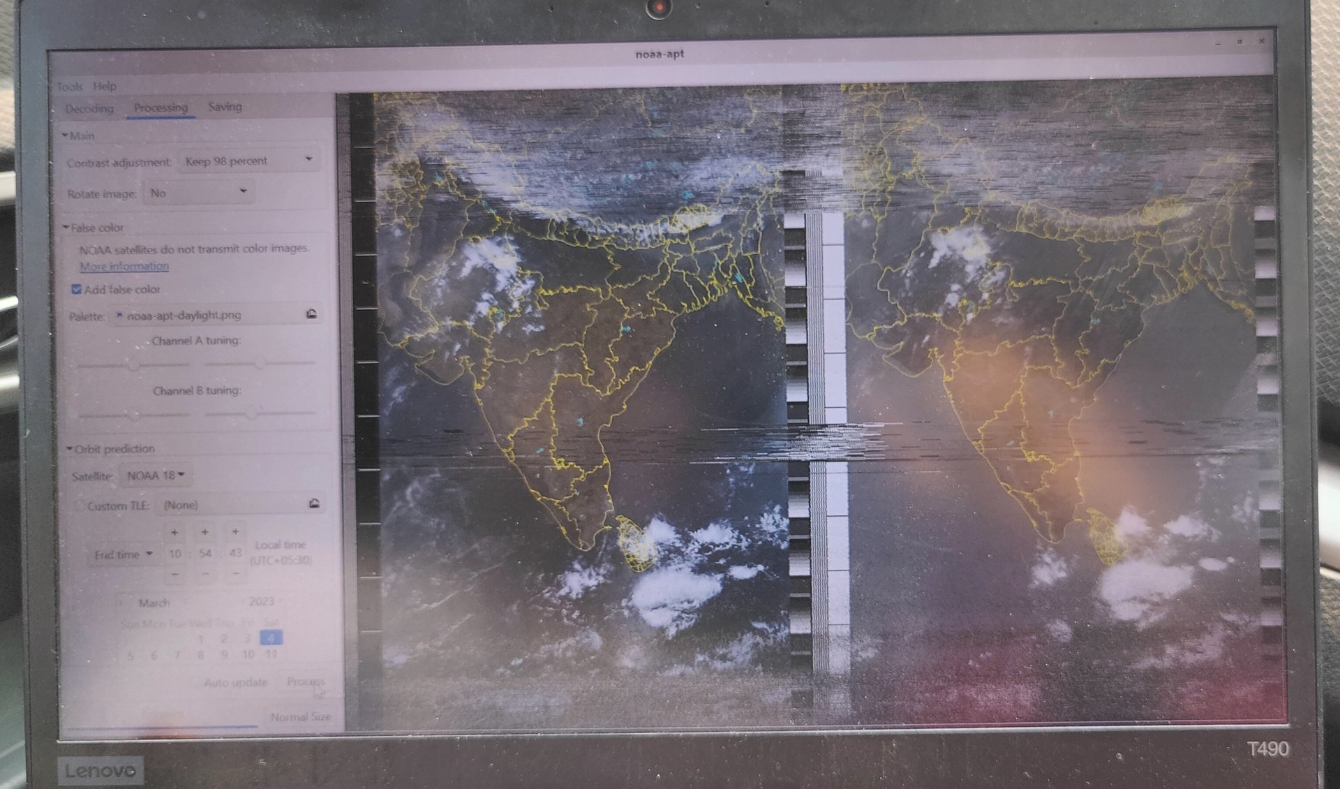
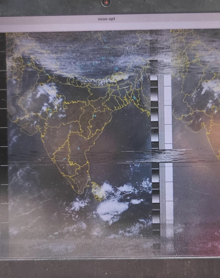
One of my most engaging projects involves capturing weather data from NOAA satellites using an RTL-SDR (Software Defined Radio) and a Raspberry Pi. NOAA satellites, orbiting our Earth, continuously transmit weather data that includes cloud cover and with the right tools, analysing the density of the cloud and its patterns, precipitation patterns and temperature maps can be charted. My interest in Radio Frequency (RF) technology is what initially drew me to this fascinating field of satellite communication.
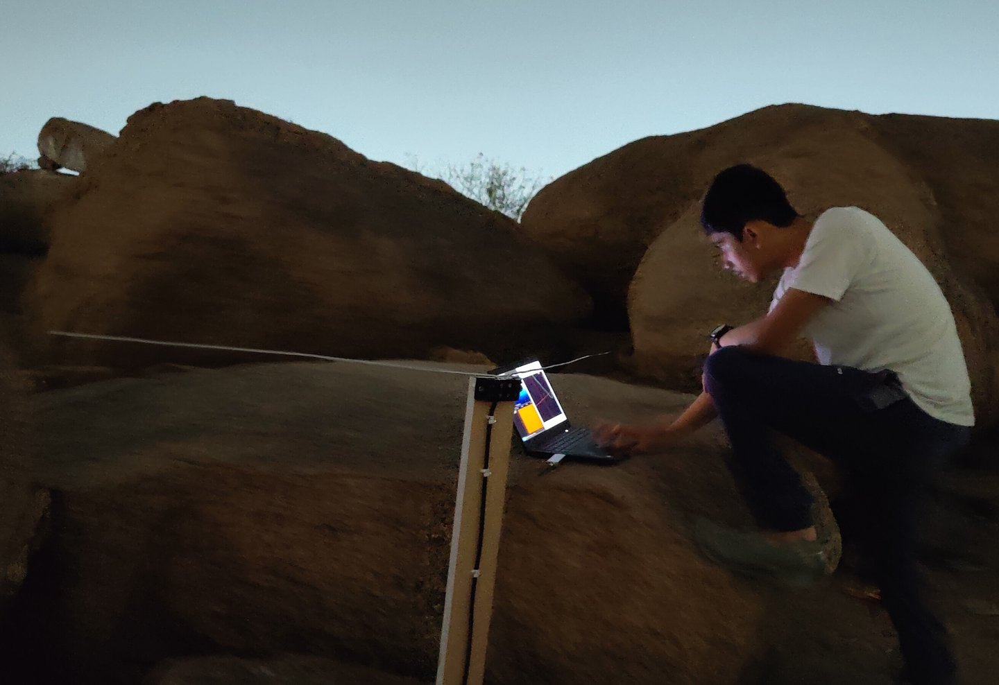
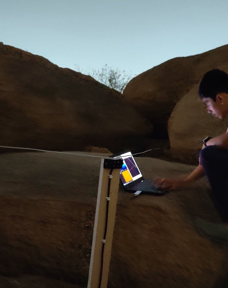
To begin, I set up an RTL-SDR dongle, which serves as the primary receiver for the satellite signals. RTL-SDR’s are highly versatile devices that can receive a wide range of frequencies, making them ideal for tracking NOAA’s weather satellites. I connected the RTL-SDR to my Raspberry Pi, a small but powerful computer that acts as the brain of my entire setup, running specialized software to decode the signals received from the satellites. I made a V-dipole antenna ensuring it is optimally aligned to capture signals from the low-earth orbiting NOAA satellites as they pass overhead. The kind of data I am receiving here is known as an APT (Automatic Picture Transmission) signal at 137 MHz.
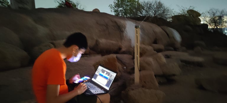
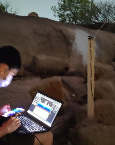
The decoding process requires the use of software like SDR++ to capture the radio signals and SatDump, which converts the signals into detailed weather images. These images provide insight into cloud formations, storm systems, and other meteorological phenomena, allowing me to track real-time weather events in my region and beyond.
One of the most rewarding aspects of this project is the hands-on experience of setting up and calibrating the system. Capturing clear, usable images from satellite transmissions requires precise timing, accurate tuning of the RTL-SDR and perfecting the orientation of the antenna. Over time, I’ve learned to adjust these variables to improve the quality of the images I receive. With each satellite pass, I fine-tune the setup to capture more accurate and clearer data.
Working with NOAA satellite data has provided me with a deeper understanding of how weather data is collected from space. It’s remarkable to see real-time data being transmitted and decoded right before my eyes. This project has not only helped me explore my fascination with RF technology but also opened up a new world of satellite communication. The challenge of continuously refining the setup keeps me motivated and the thrill of receiving each new image is always exciting.
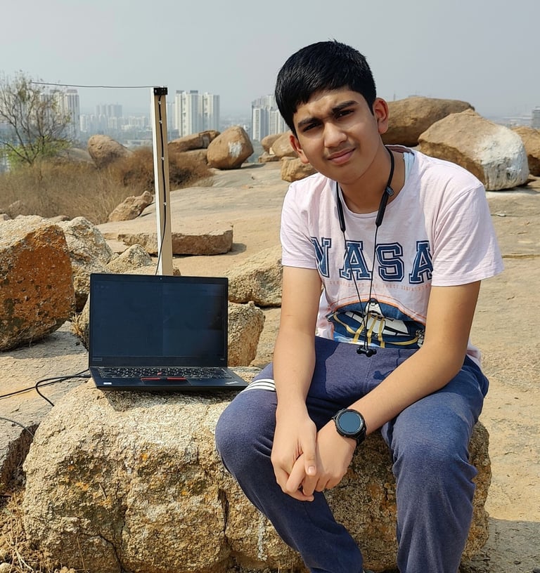
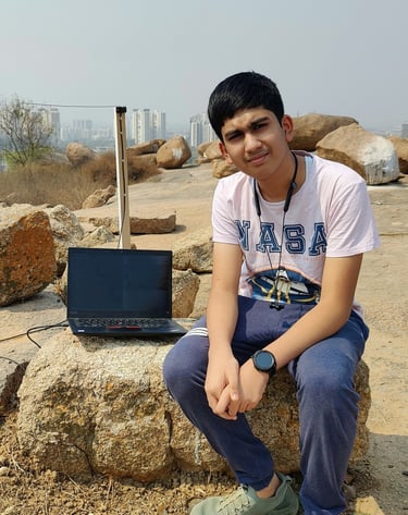
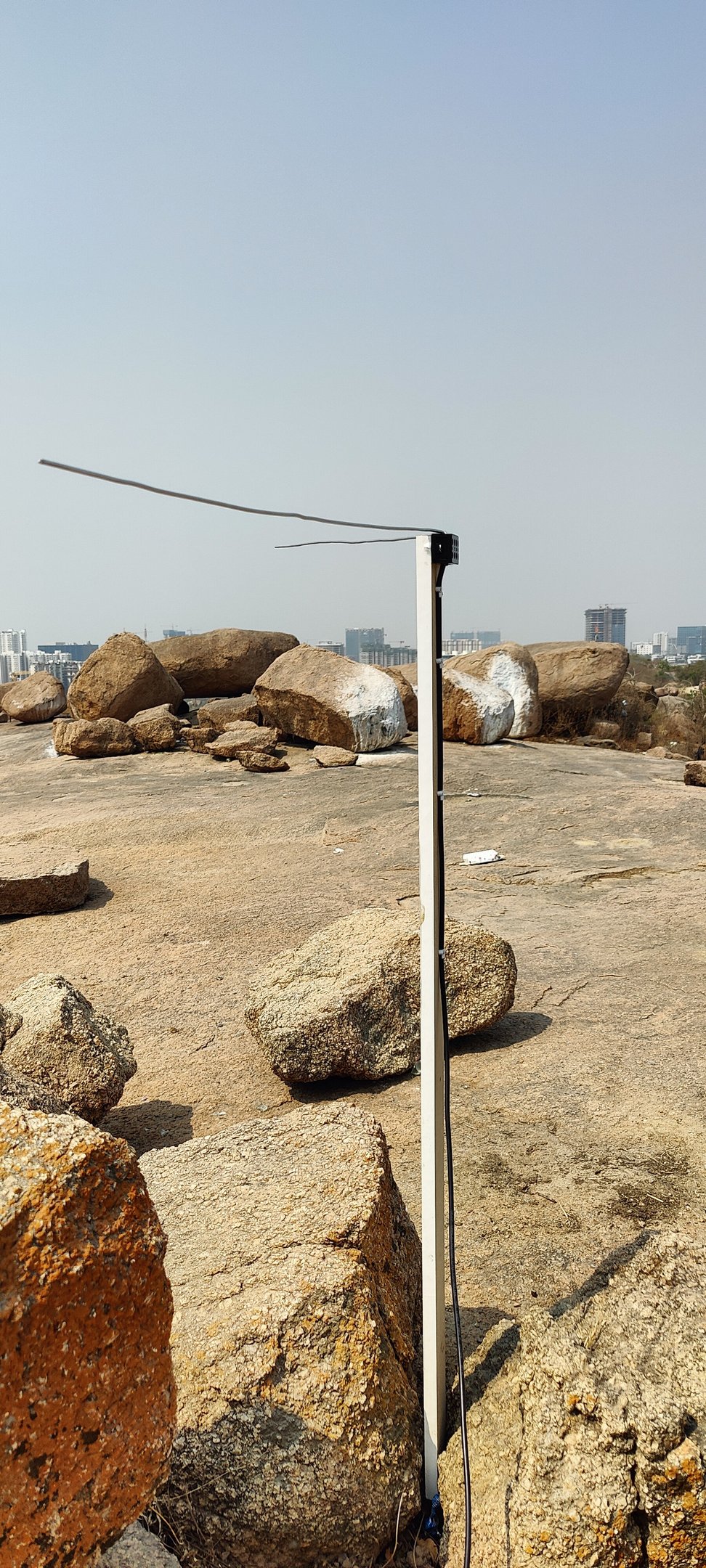
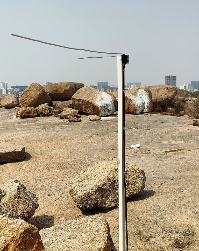
DIY V-Dipole Antenna
xSpace.Space - Yash Xavier's Digital Space
Explore my Journey
My Personal Pursuits
© 2026. All rights reserved.
Showcase of Endeavour
Projects & Achievements