
Replica Build : NOAA Satellite
Using a RaspberryPi Zero to Transmit real-time and demonstrate capture and decoding of data

Live Demonstration : Data Capture from NOAA Satellites
My fascination with radio frequency technology and satellite communication led me to explore an exciting project—capturing real-time weather data from NOAA satellites. These satellites continuously transmit weather images, atmospheric data and temperature patterns that can be received using specialized radio equipment. With an RTL-SDR (Software Defined Radio) and a custom-built V-Dipole antenna, I can decode signals from NOAA-15, NOAA-18 and NOAA-19 which operate in the 137 MHz frequency range.
The process is thrilling. First, I use N2yo to track NOAA satellites and ensure accurate timing for signal reception. As a satellite passes overhead, I use my laptop to record its transmission using SDR++ , which I then decoded using SatDump. The result is a detailed weather map showing cloud formations and storm systems, along with imagery of the ground, like a low-resolution satellite image. By analysing these images, I can somewhat predict weather conditions and compare real-time data with official meteorological reports.
Since the NOAA satellites utilize an analog signal at 137 MHz, its image resolutions are quite low, at 4KM per pixel. On the other hand, Meteor satellites (roscosmos launched) utilize a digital signal on the same band. By utilizing the same hardware and software with a few tweaks on my laptop, I was able to receive these higher quality satellite images at a staggering 1KM per pixel! This allowed me to receive and process higher quality images overall.
For a demonstration at school on how NOAA satellites work, I made a working replica of it with my Raspberry pi Zero. With the use of rpitx, Pi’s can easily handle RF from 15 MHz up to 1100 MHz and that was the base of my entire demonstration
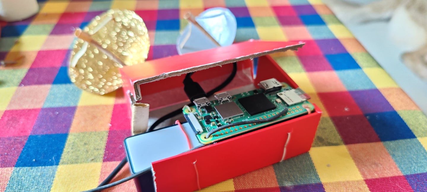
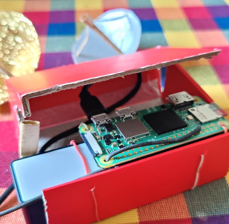
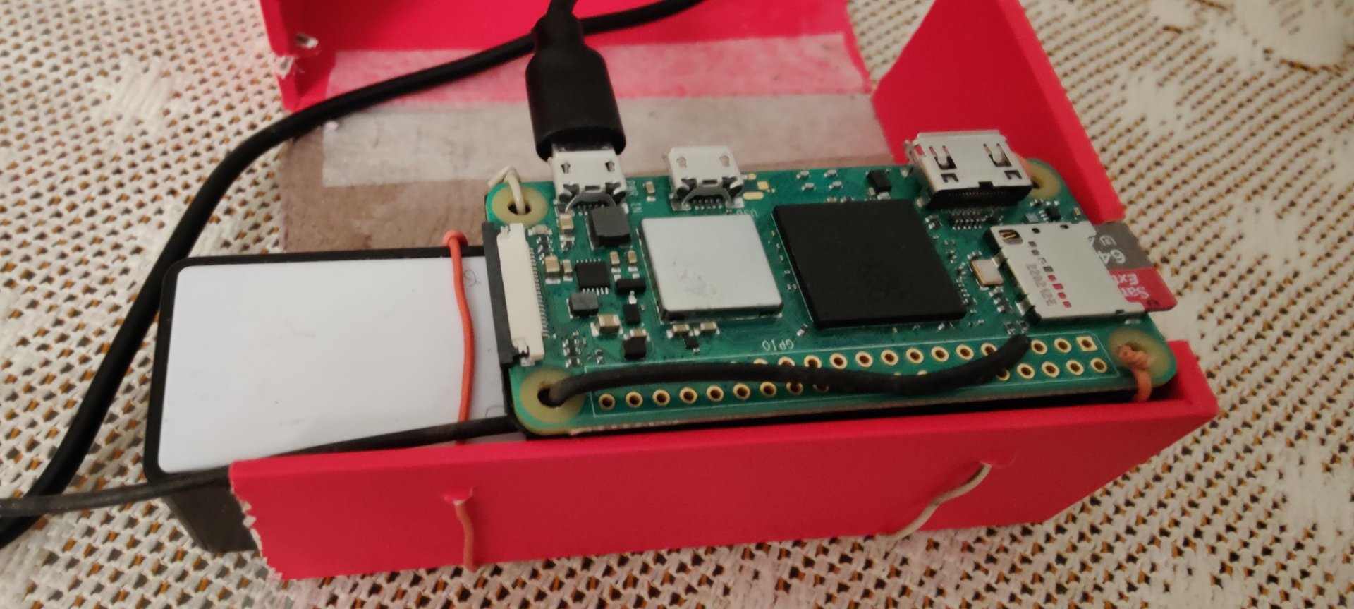
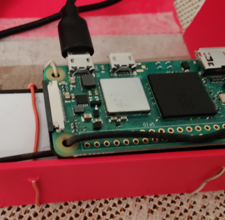
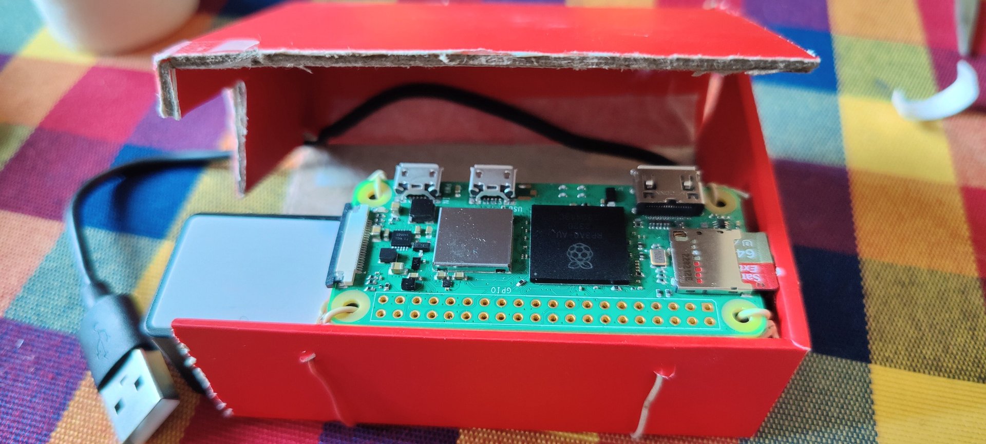
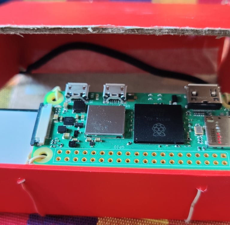
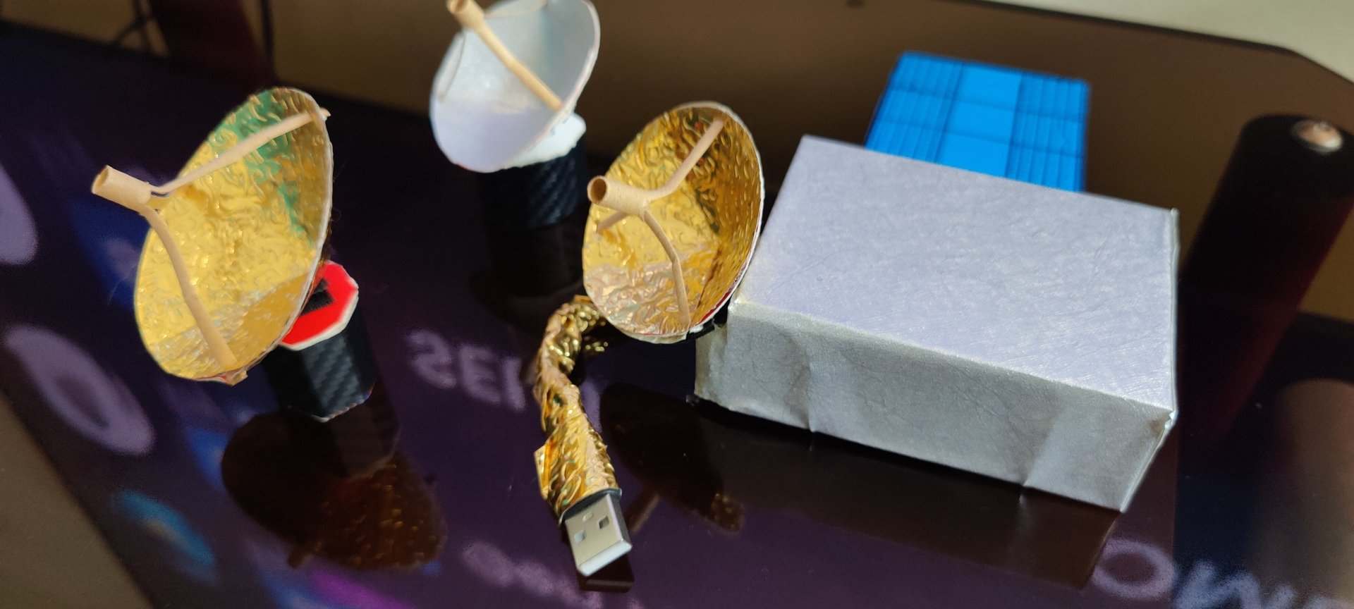
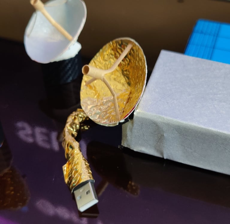
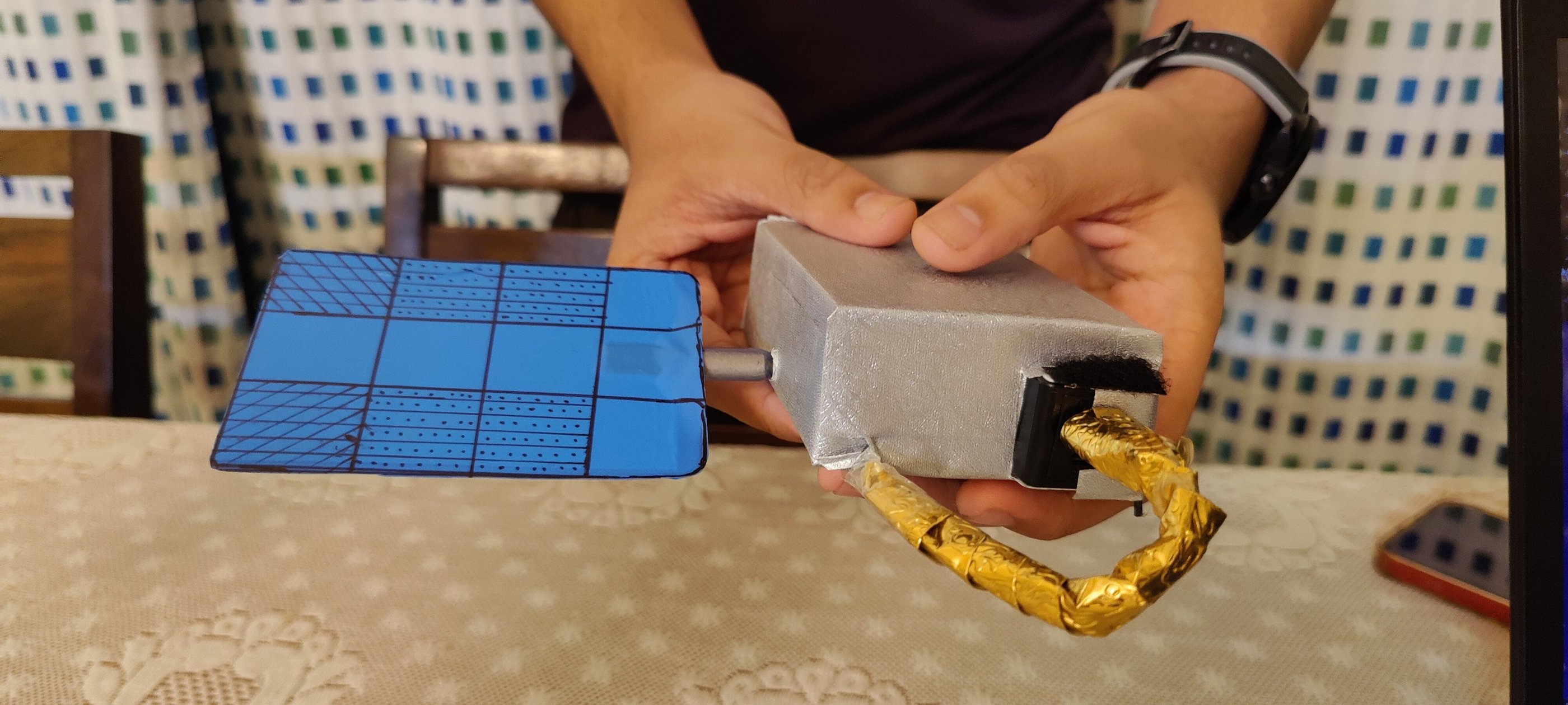
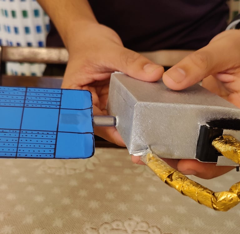

Making of my NOAA replica
xSpace.Space - Yash Xavier's Digital Space
Explore my Journey
My Personal Pursuits
© 2026. All rights reserved.
Showcase of Endeavour
Projects & Achievements
